5 min
Always Current
Conditions refresh automatically around the clock — the map is never out of date.
Where aviation and weather come together.
Handcrafted LED maps that pull real-time METAR data and light up each airport with its current flight conditions — green for clear, red for low. A glance tells you the weather.

Each light on a Hotshot Map is a real airport. Behind the scenes, the map quietly checks current conditions and recolors every station, so your local flying weather is always glowing in the corner of the room — no app, no screen, no checking.
Hotshot Maps use the same flight-category colors pilots already know. The moment conditions change at an airport, its light changes with them.
Clear skies and good visibility. Green means go.
Ceilings or visibility starting to drop. Worth a closer look.
Low ceilings or reduced visibility. Instruments required.
The toughest conditions — very low ceilings and visibility.
Active weather doesn’t just sit there. Stations animate when something’s happening overhead.
Every map is made by hand and wired one station at a time. Here are a few from the workbench.
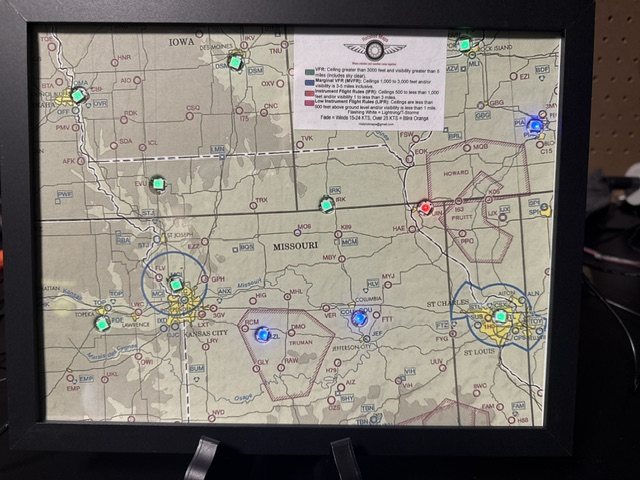
From KC to St. Louis — live conditions across the region.
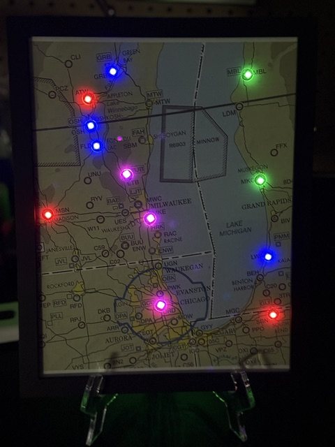
Milwaukee, Chicago & the lakeshore after dark.
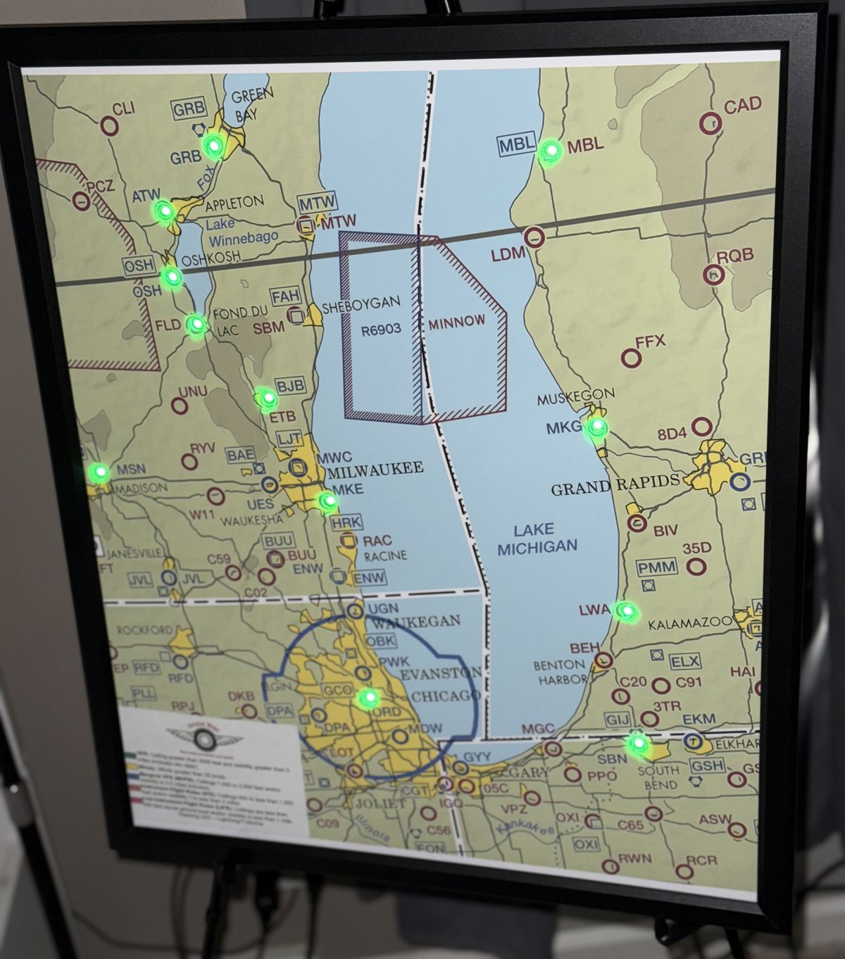
Wisconsin to Grand Rapids in clean VFR green.
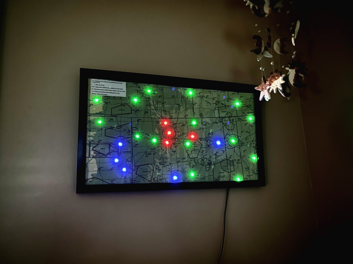
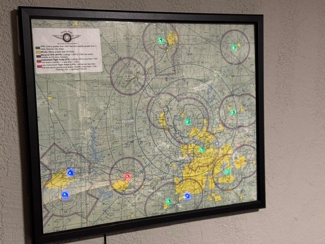
Green, blue, and red all at once — VFR, MVFR, and IFR telling the full story.
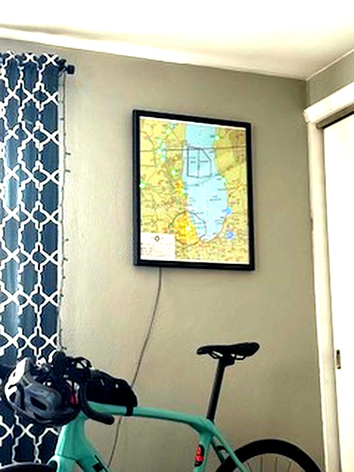
Framed, mounted, and live — right at home on the wall.
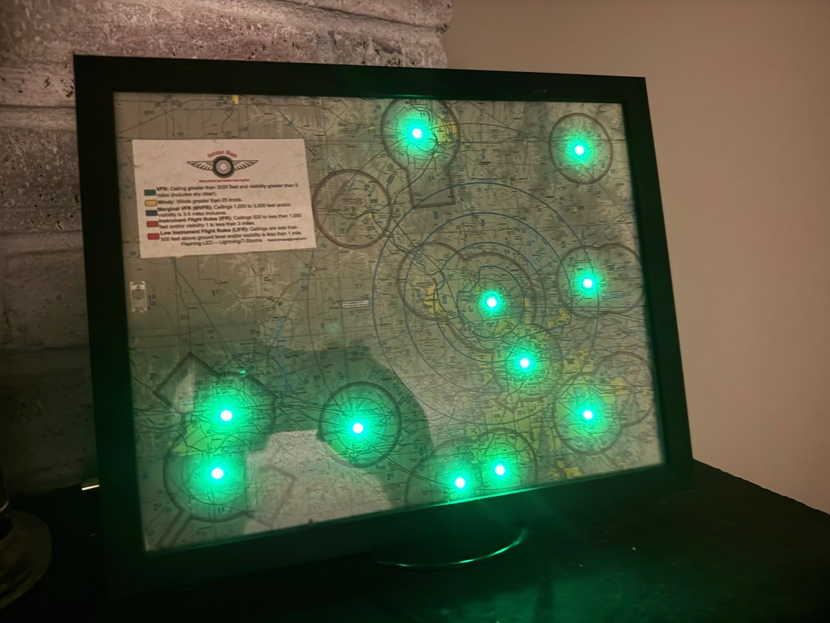
Every station reporting VFR — a good night to fly.
Watch the lights update in real time as conditions change across the region.
A closer look at the lights cycling through conditions — no app, no screen needed.
Pulls official METAR observations and updates every five minutes, day and night.
Connects to 2.4 GHz Wi-Fi from your phone in minutes. After a power blip it reconnects on its own.
Tell me your airports and your approximate size, and the map is built around them.
Assembled and wired by hand — not a kit, not mass-produced.
No subscription, no app to babysit. It just glows with the current weather.
A standout gift for aviators, CFIs, and anyone who loves the sky.
Every map is handmade to your airports. Two standard sizes to choose from — custom sizing available on request.
A compact map built for a desk or shelf.
A statement piece — framed and ready to hang.
Made by a pilot, for people who look up.
Hotshot Maps started in a workshop in the Kansas City area, born from a love of flying and a habit of checking the weather. Each map is designed, built, and tested by hand — the kind of thing you make because you’d want one yourself.
Questions, a custom region in mind, or just want to see more? Send a note — I’d love to hear what you’re thinking.
Email Hotshot MapsHotshotmaps@gmail.com